You are in: Central America -> Guatemala -> Tikal National Park, and traditional search or Image Gallery will yield results of this site only
Tikal National Park
| Site number: | 64 |
|
| Type of site: | Mixed | |
| Date: | 6thBC-10th c.AD | |
| Date of Inscription: | 1979 | |
| Location: | South America, Guatemala, Department of El Peten | |
Up to 75 images are shown here. Click on each for more details or on Image Gallery for more images.
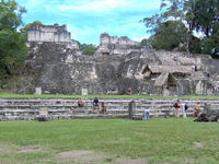
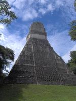
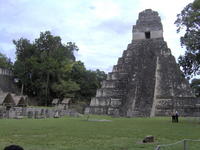
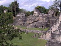
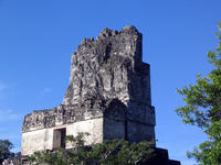
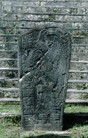
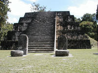
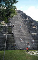
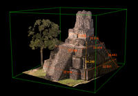
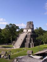
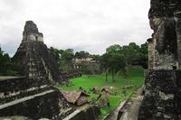
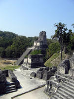
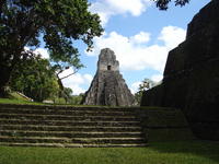
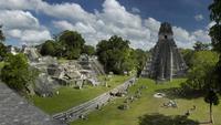
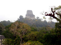
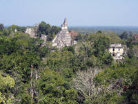
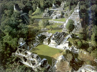
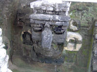
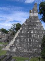
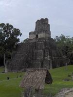
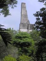
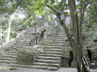
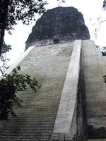
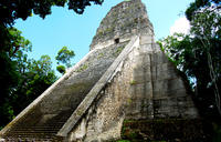
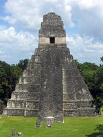
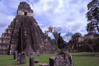
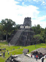
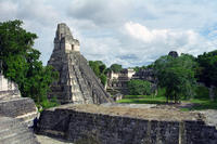
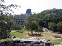
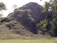
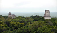
| Description: | The Tikal National Park lies in the heart of the jungle, surrounded by lush vegetation. Inhabited from the 6th century B.C. to the 10th century A.D.; it is one of the major sites of Mayan civilization. The ceremonial centre includes fabulous temples and palaces, as well as public squares accessed by means of ramps. The surrounding countryside is scattered with remains of dwellings. --WHMNet paraphrase from the description at WHC Site, where additional information is available. | |
| Tikal (or Tik’al, according to the more current orthography) is the largest of the ancient ruined cities of the Maya civilization. It is located in the El Petén department of Guatemala. Now part of Guatemala's Tikal National Park, it is a UNESCO World Heritage Site and a popular tourist spot. The closest large towns are Flores and Santa Elena, about 30 kilometers away. Tikal was one of the major cultural and population centers of the Maya civilization. Though monumental architecture at the site dates to the 4th century BC, Tikal reached its apogee during the Classic Period, ca. 200 AD to 850 AD, during which time the site dominated the Maya region politically, economically, and militarily while interacting with areas throughout Mesoamerica, such as central Mexican center of Teotihuacan. There is also evidence that Tikal was even conquered by Teotihuacan in the 4th century A.D. Following the end of the Late Classic Period, no new major monuments were built at Tikal and there is evidence that elite palaces were burned. These events were coupled with a gradual population decline, culminating with the site’s abandonment by the end of the 10th century. --Wikipedia. Text is available under the Creative Commons Attribution-ShareAlike License. | ||
| Source: | http://whc.unesco.org/en/list/64 | |
| Reference: | 1. UNESCO World Heritage Center, Site Page. | |


