You are in: Middle East -> Iraq -> Samarra Archaeologic... , and traditional search or Image Gallery will yield results of this site only
Samarra Archaeological City
| Site number: | 276 |
|
| Type of site: | Heritage in danger | |
| Date: | 9th century | |
| Date of Inscription: | 2007 | |
| Location: | Middle East, Iraq, Samarra Township, Salah al-Din Governorate | |
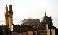
Up to 75 images are shown here. Click on each for more details or on Image Gallery for more images.
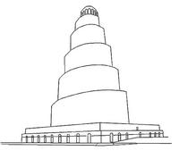
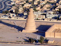
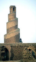
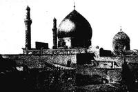
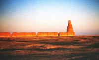
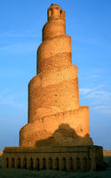
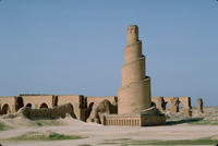
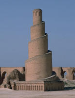
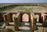
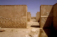
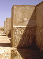
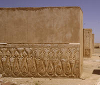
| Description: | Inscribed both on the World Heritage List and on the List of World Heritage in Danger, the Samarra Archaeological City holds a Great Mosque and the Spiral Minaret that ruled over Abbasid empire’s provinces for a century stretching from Tunisia to Central Asia. Enveloping the River Tigris from both sides, the site is situated 130km north of Baghdad; in length from north to south it runs 41.5km, with a width from 8km to 4km. It bears witness to the local architectural and artistic innovations that later extended its influence on other regions of the Islamic world and beyond. The 9th century Great Mosque and its Spiral Minaret are amongst the many noteworthy architectural monuments of the site, 80% of which are yet to be excavated. --WHMNet paraphrase from the description at WHC Site, where additional information is available. | |
| Sāmarrā (Arabic,سامراء) is a town in Iraq (34°11′54.45″N, 43°52′27.28″E). It stands on the east bank of the Tigris in the Salah ad Din Governorate, 125 kilometers (78 mi) north of Baghdad and, in 2002, had an estimated population of 201,700. Medieval Islamic writers believed that the name “Samarra” is derived from the Arabic phrase, “Sarre men ra’a” "سر من رأى" which translates to “A joy for all who see”. In 2007, UNESCO named Samarra one of its World Heritage Sites. --Wikipedia. Text is available under the Creative Commons Attribution-ShareAlike License. | ||
| Source: | http://whc.unesco.org/en/list/276 | |
| Reference: | 1. UNESCO World Heritage Center, Site Page. | |


