You are in: Africa -> Chad -> Lakes of Ounianga, and traditional search or Image Gallery will yield results of this site only
Lakes of Ounianga
| Site number: | 1400 |
|
| Type of site: | Natural | |
| Date of Inscription: | 2012 | |
| Location: | Africa, Chad, Sahara desert , Ennedi region | |
Up to 75 images are shown here. Click on each for more details or on Image Gallery for more images.
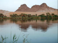
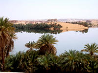
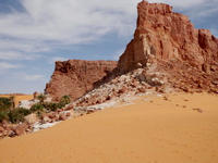
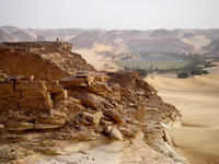
| Description: | The site includes eighteen interconnected lakes in the hyper arid Ennedi region of the Sahara desert covering an area of 62,808 ha. It constitutes an exceptional natural landscape of great beauty with striking colours and shapes. The saline, hyper saline and freshwater lakes are supplied by groundwater and are found in two groups 40 km apart. Ounianga Kebir comprises four lakes, the largest of which, Yoan, covers an area of 358 ha and is 27 m deep. Its highly saline waters only sustain algae and some microorganisms. The second group, Ounianga Serir, comprises fourteen lakes separated by sand dunes. Floating reeds cover almost half the surface of these lakes reducing evaporation. At 436 ha, Lake Teli has the largest surface area but is less than 10 m deep. With their high quality freshwater, some of these lakes are home to aquatic fauna, particularly fish. --WHMNet's description is from WHC Site, where additional information is available. | |
| In the north east of the Chad Basin and southeast of the Tibesti Mountains is located the Ounianga Lakes (18°44'-18°05'N/20°31'-21°51'E) oriented from Northwest to southeast. This is a sandstone structure area and the lakes owe there existence the fact, that a groundwater aquifer reaches the surface in valleys between the sand dunes and ridges. In general this lakes are at all permanent and divided in two groups. The first group of lakes are at Ounianga Kebir (19°05 'N/20°31 'E), the largest lake is the Lake Joa (345 metres (1,132 ft) asl) and cover an area of 370 hectares (910 acres)and a maximum depth of 25 metres (82 ft), and there are 3 smaller lakes close by, known as Lakes Uma, Mioji and Forodom. The second group of lakes 50 kilometres (31 mi) east and cover an Area near by the Ounianga Serir (18°55'N/21 °51'E). Here ten lakes lie in rough parallel; these are the lakes of Melekoui, Dierke, Ardiou, Teli, Abrome, Hogou, Diara, Tarem, Tibichei and Bokou. Lake Teli is the largest, covering an area of 70 hectares (170 acres), with a maximum depth of 10 metres (33 ft) at an elevation nearby 360 metres (1,180 ft) asl. The lakes are a unique habitat in the Sahara Desert and have conserved the genetic heritage of the Sahara's humid past over more than 3000 years of hyperaridity. --Wikipedia. Text is available under the Creative Commons Attribution-ShareAlike License. | ||
| Source: | http://whc.unesco.org/en/list/1400 | |
| Reference: | 1. UNESCO World Heritage Center (http://whc.unesco.org/en/list/1400). 2. Wikipedia. | |


