You are in: Africa -> Togo -> Koutammakou, the Lan... , and traditional search or Image Gallery will yield results of this site only
Koutammakou, the Land of the Batammariba
| Site number: | 1140 |
|
| Type of site: | Cultural | |
| Date: | - | |
| Date of Inscription: | 2004 | |
| Location: | Africa, Togo, Kara Region | |
Up to 75 images are shown here. Click on each for more details or on Image Gallery for more images.
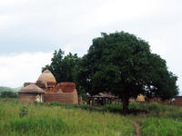
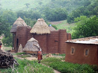
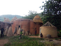
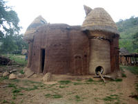
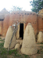
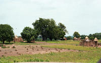
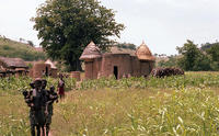
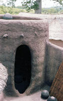
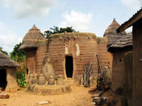
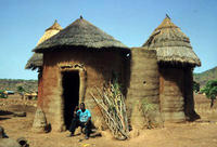
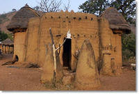
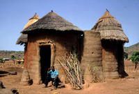
| Description: | Northeastern Togo’s Koutammakou landscape, which stretches into next-door Benin, houses the Batammariba whose noteworthy mud Takienta tower-houses have become a symbol of Togo. The nature in this landscape is deeply connected with the society’s rituals and beliefs. The 50,000-ha cultural site is extraordinary by reason of its Takienta tower-house architecture which manifests social structure; its farmland and woodland; and the relations of the people with the landscape. A majority of the buildings are two stories in height and those featuring granaries present an almost spherical shape on top of a cylindrical pedestal. Whilst a few of the buildings encompass flat roofs, others have roofs that are conical and thatched. They are assembled in villages, which in addition contain ceremonial spaces, springs, rocks and sites set aside for initiation ceremonies. --WHMNet paraphrase from the description at WHC Site, where additional information is available. | |
| Koutammouko, the Land of the Batammariba is a cultural landscape designated as a UNESCO World Heritage Site in northern Togo. The area features traditional mud tower-houses which remain the preferred style of living. --Wikipedia. Text is available under the Creative Commons Attribution-ShareAlike License. | ||
| Source: | http://whc.unesco.org/en/list/1140 | |
| Reference: | 1. UNESCO World Heritage Center, Site Page. | |


